Current Research and Projects
Firelogue Project - HORIZON 2020
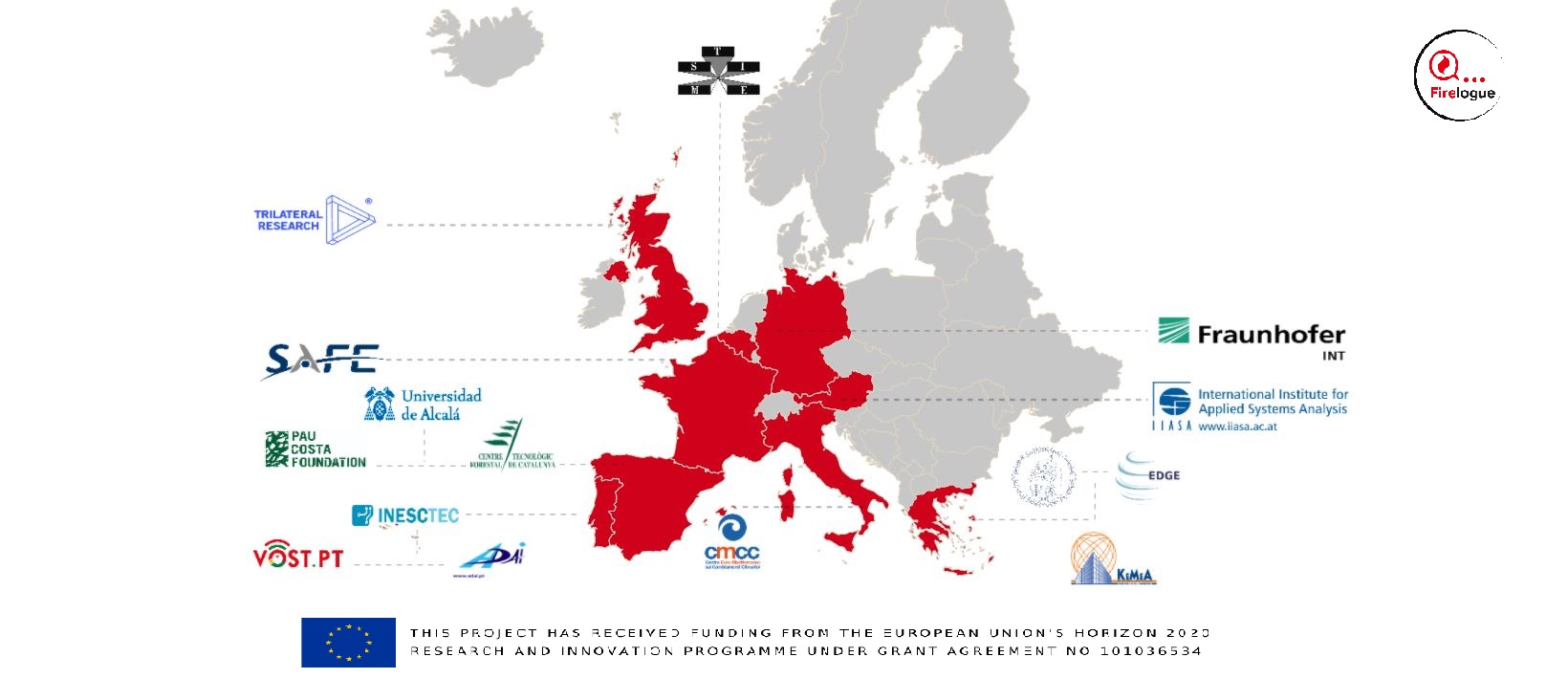
Support to the Bonn office of UN-SPIDER of the United Nations, in the development of the activities developed within the framework of the FIRELOGUE project. Through the different Innovation Actions (IAs) that bring knowledge, innovations and research results come to improve the current Wildland Fire Risk Management (WFRM). FireLogue will coordinate and support these IAs by integrating their results among stakeholders and fire management phases.
Integrated Geospatial Early Warning and Response System for Wild Fires
A project consisting of the development of an integrated geospatial system for early warning and response to vegetation fires. Developed by the Instituto Nacional de Tecnología Agropecuaria - Argentina INTA, under the direction of the Comisión Nacional de Actividades Espaciales - Argentina CONAE, and financed by the Inter-American Development Bank IDB, for the development of systems that work with data from the SAR satellite SAOCOM.
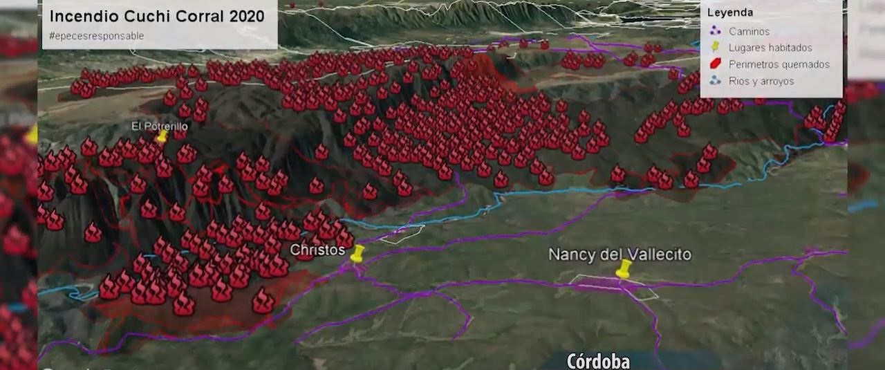
Wildfires management training in Google Earth Engine platform - GEE
Is a regional network established in 2002 under the Global Observations of Forest and Land Dynamics (GOFC/GOLD)-Fire Mapping and Monitoring Theme. RedLaTIF, the network provides opportunities and support to promote the use of remote sensing data and to bridge the gap between end users and space agencies. This year 2020, with the support of the UN-SPIDER, the Friends of Nature Foundation FAN, National Institute of Agricultural Technology INTA and the Institute for Higher Space Studies Mario Gulich, the network is leading the promotion of a new remote sensing training project, for specialists with an emphasis on the detection and mapping of active fires and burned areas on the use of the Google Earth Engine - GEE platform. If you are interested to join, you can fill in this form or reach out to us, if you would like to discuss something else.
Landslide detection for rapid Mapping Using Sentinel 2
The landslide and mass removal processes that occurred in the southern area of the state of Oaxaca in 2020 were analyzed for the area of La Soledad using Sentinel-2 optical imagery, radar image analysis and digital terrain models (DTM). A specific algorithm was developed to establish a model for automatic extraction of the traces of the ground movements by using the Bare Soil Index (BSI) at two different times. See the post on Mediun.
The results allow us to extract the shapes of the landslides in the terrain and to calculate their direction, this methodology allows extracting and characterizing landslides processes from Sentinel-2 satellite images. The algorithm is part of Custom Script Contest” of the COPERNICUS program by the European Space Agency - ESA), in coordination with the European Commission, managed by the Euro Data Cube group.
GEDI project and Forest fire susceptibility
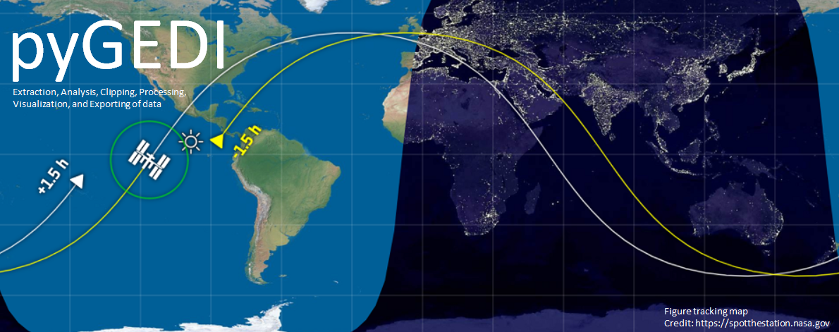
The new Global Ecosystem Dynamics Investigation GEDI launched on December 5th, 2018 is operating onboard the International Space Station ISS producing a high-resolution laser collecting 3D data around Earth on forest canopy height, canopy vertical structure, and surface elevation. We work on the evaluation of a new method that has been applied for forest fire susceptibility mapping GEDI data based. The results of the analysis were verified using forest fire location data with the help of a new the library pyGEDI is developed in Python as it can utilize multiple CPUs, GPUs, and is supported by C and GDAL and GEE.
Interactive fire mapping with geemap: a Python package for forests fire monitoring
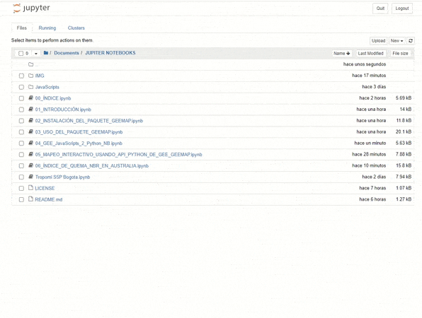
Interactive fire mapping with geemap: Is a basic Jupyter course 2020, in a script collection based in Jupyter Notebooks in Spanish for digital image processing using various Python packages, including Earth Engine Python API, folium, ipyleaflet, and geemap. Explained interactively on Jupyter notebooks, in order to be able to work with data in bulk in the cloud using open source software, as an alternative to proprietary desktop software. Developed as part of the support material for the Regional support RSO offices of the UN-SPIDER program.
Class-based programming
A project that uses the Integration of methods based on satellite remote sensing into current maritime monitoring. The idea is trying to support strategies that could help tackle the problem of illegal fishing in developing countries.
This method based on Class-based programming (OBIA) and thermal analysis to distinguish fishing and non-fishing vessels. The script classifier takes as input the vessel’s length, longitude, and latitude, its distance to the nearest shore, and other parameters. These initial results suggest that our approach could help monitor the intensification or reduction of illegal fishing activity, which is critical in the context of the global overfishing problem.
IO-Star Iniciative
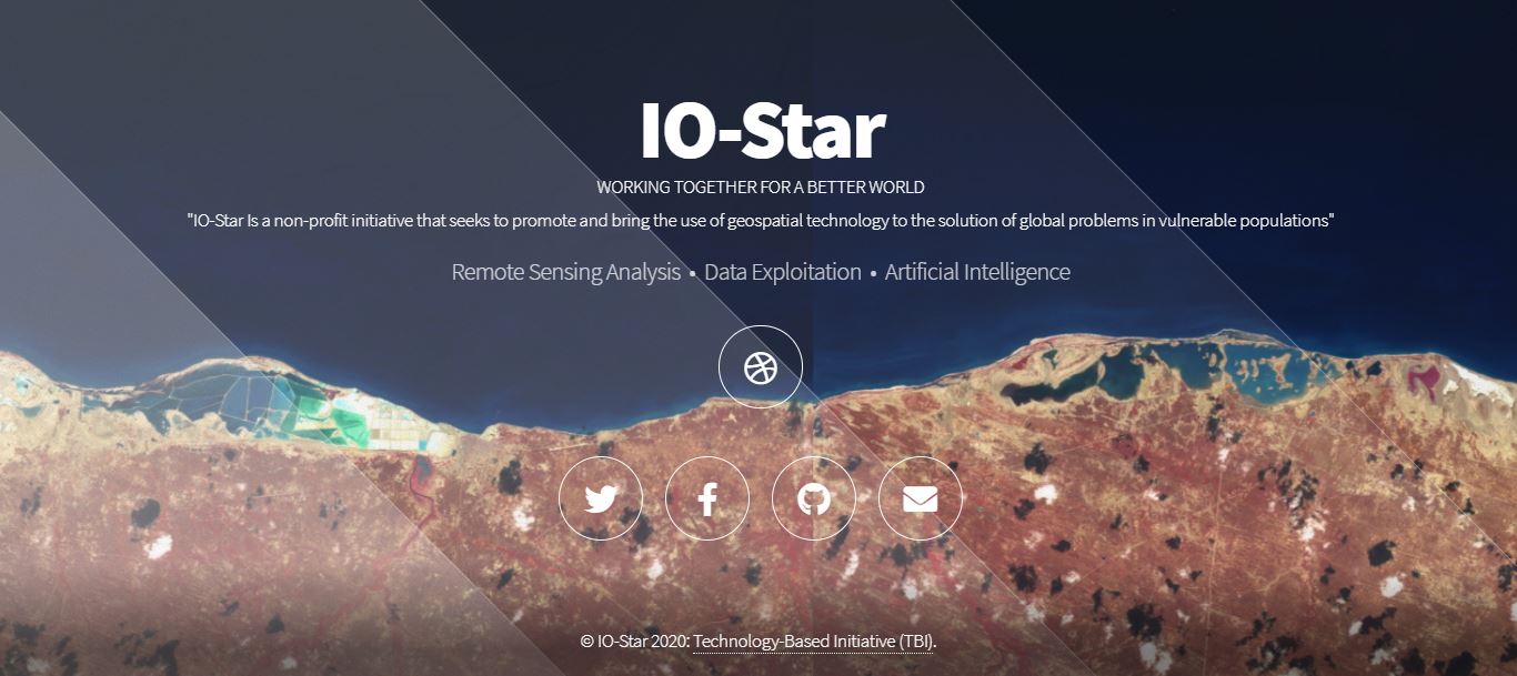
I am a co-founder and current member of the IO-Star project. An initiative that tries to work toward the sustained availability of satellite images, ground observations, and other sources of data and information to support goals proposed in the climate change agreements and Sendai Framework for Disaster Risk Reduction RRD 2015-2030.
The main goal of this project is to support vulnerable countries all over the world towards a sustainable process to address their DRR requirements. With the support of a network of voluntary professionals, we tried to promote knowledge and applied research in young students of schools and universities in Latin America and Africa, to motivate future professionals in the geospatial area for the benefit of these regions.