Workshops & Talks
These are some of the most recent workshops, webinars and conference talks.
Workshops & Webinars
2020
- III Symposium of Research in Geographic Information Technologies - TIG of the UAH - forum for debate on the multidisciplinary applicability of GIT in different lines of research. Madrid, Spain. November 25-26, 2020,
- Experiences, challenges and opportunities facing the future of Geospatial development [Recording]
- Experiences, challenges and opportunities facing the future of Geospatial development [Recording]
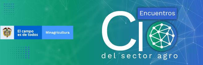
- 8th CIO Meeting of the agricultural sector - Ministry of Agriculture: A space for the implementation of Geographical Information Technologies TIG and EO Earth Observation in the field of agricultural management. Friday, November 6, 2020,
- Geographical information technologies - TIG. as a tool for sustainable agricultural development - [Recording]
- Geographical information technologies - TIG. as a tool for sustainable agricultural development - [Recording]
- RedLatif webinar: Role of EO satellites for forest fire management. A webinar organized with the support of the FAN Fundation and the RedLatit Latin American Network for Remote Sensing and Forest Fires. Short Course - 10 June 2020.
[Recording]
- “Introduction to Satellite Products and Services for the Management of Forest Fires”
Introduction to practical worfklows and a case study on Centroamerica forest fires based on Sentinel-5p and GOME-2 data based on Jupyter notebooks. - Introduction to satellite atmospheric observations of fire emissions
- State-of-the-art Copernicus operational data sets for monitoring smoke and fire emissions to the atmosphere
- UN-SPIDER Recommended Practice for burn severity mapping
- Case studies:
- Maya Reserve of Pete (Guatemala)
- Chernobyl (Ukraine)
- Maya Reserve of Pete (Guatemala)
- “Introduction to Satellite Products and Services for the Management of Forest Fires”
- UN-SPIDER webinar: showcases methods to map burn severity after forest fire - UN-SPIDER webinar showcases methods to map burn severity after forest fire. May 2020
- Management and Monitoring System in forest fires
- Fire Mapping Cloud Applications
- Management and Monitoring System in forest fires
2019
II international congress ICT for the Amazon Type of event
Universidad de la Amazonia. *Technological Innovation for the Development of the Amazon: “Trends in Geographic Information Technologies, challenges for development”. Universidad de la Amazonia. Florencia - Colombia. November 27, 2019.VIII COLOMBO-MEXICAN Symposium on Geographical Research Universidad UPTC and Agustín Codazzi Geographical Institute. “Geographic knowledge of the global south”.* Bogota - Colombia. Octuber 12, 2019.
Conference talks
2020
1ª Workshop for vessel monitoring through the use of satellite images - Directorate-General Maritime Affairs -DIMAR. A project to establish and enhance the state-of-the-art in operational ship detection from space. Dicember 17, 2020.
Geography Master program of the Department of geography, Universidad del Valle - Geospatial Data: Remote sensing at the service of risk and disaster management. Cali - Colombia. December 5, 2020.
2019
- Jornadas INIA - Monitoring of post-fire plant covers in Mediterranean environments: the case of the Pantano de San Juan fire in 2003. Madrid - june 2019.